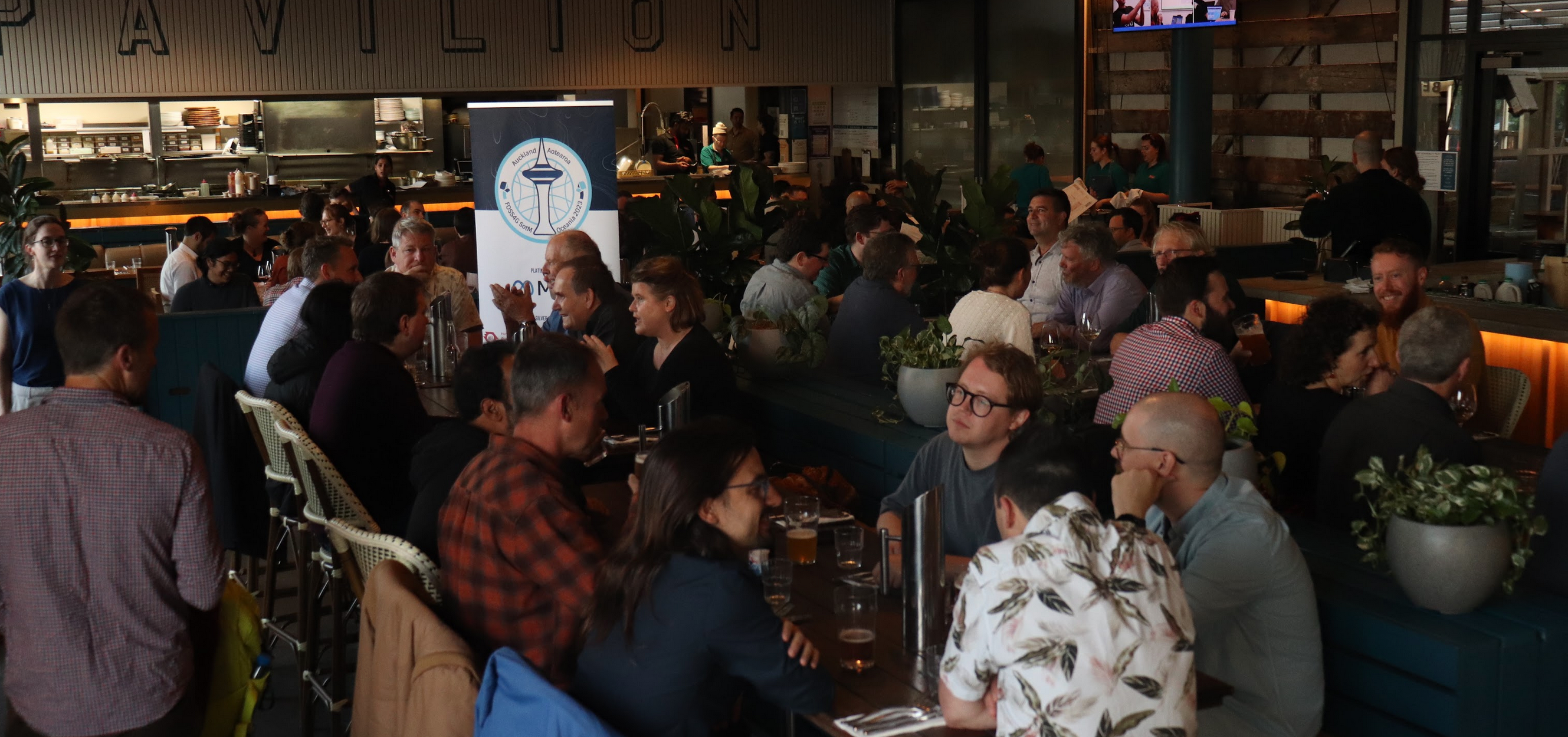
The workshops are half-day morning or afternoon time slots, held in a classroom setting and have a capacity of 20-30 participants. Held during our Monday 17th November 2025 and Tuesday 18th November 2025 workshop days, workshops can be up to 3.5 hours long. There will be catering on these days for workshop participants only.
Monday 17th November - Morning Workshops
9:00am to 12:30pm
You will be able to choose one of the following after purchase:
• Advanced PostGIS: Beyond the basics Workshop
• Building Geospatial AI Applications: From Data to Insights with Open Source Tools Workshop
• Build the Thing: A Hands-On Product Workshop for Geospatial Makers Workshop
• Cloud-Native Geospatial for Earth Observation Workshop
• Diving into pygeoapi Workshop
• Exploring the ZOO-Project-DRU and OGC Application Package Workshop
• Hands-on DGGS and OGC DGGS-API with DGGRID and pydggsapi Workshop
• Introduction to GeoServer Workshop
• Let’s create Interactive Web Maps with the Open-Source WebGIS: Re:Earth - Visualizer + Re:Earth CMS Workshop
• QField & QFieldCloud: Hands-On Fieldwork Workshop
Monday 17 November - Afternoon Workshops
1:30pm to 5:00pm
You will be able to choose one of the following after purchase:
• Cartography for Rebels: Building Beautiful Maps with Free Tools Workshop
• Doing Geospatial with Python Workshop
• Exploring Cloud-Native Geospatial Formats: Hands-on with Raster Data Workshop
• GeoTools Geospatial Introduction Workshop
• Getting Sentinel Data within Seconds with STAC Workshop
• International QField Day Workshop
• Scalable Remote Sensing Workflows with Xarray Workshop
• QGIS Graphical Modeler: Build Smarter Workflows with Algorithms and Expressions Workshop
• QGIS Plugin Development
• Tile serving with MapLibre/Martin/Planetiler - base and overlays Workshop
Tuesday 18 November - Morning Workshops
9:00am to 12:30pm
You will be able to choose one of the following after purchase:
• Cloud-based Remote Sensing with QGIS and Google Earth Engine Workshop
• Exploring Cloud-Native Geospatial Formats: Hands-on with Vector Data Workshop
• FOSS4G with .NET: A Hands-On Introduction for Spatial Developers Workshop
• GeoServer 3 Developers Workshop
• Introduction to QField plugin authoring Workshop
• Mapping with Mini UAVs — UAV build session Workshop
• Modelling Climate Risks Using NASA Earthdata Cloud & Python APIs Workshop
• Oxidize to Decarbonize. Building more sustainable geospatial processes with Rust Workshop
• pgRouting basic Workshop
• Standalone Web Maps, No Platform Required Workshop
• Terra Draw - cross-platform drawing library for all map applications Workshop
Tuesday 18 November - Afternoon Workshops
1:30pm to 5:00pm
You will be able to choose one of the following after purchase:
• Building Spatial APIs in PostgreSQL with PostgREST Workshop
• Collaborative Geospatial Workflows in Action: A Hands-On Alpha with Re:Earth Flow Workshop
• Create and Customize Your Own 3D Web Maps with TerriaJS Workshop
• Getting Started with GeoNetwork 5: A Hands-On Developer Workshop
• H-O-T-T-O-G-O: Mobile Apps That Support Disaster Response and Climate Resilience Workshop
• Open Data, Open Source, Open Standard: Quickly build your digital twin city with mago3D Workshop
• Participatory mapping field survey and computer lab: QField integration into machine learning landcover classification within Digital Earth Pacific Workshop
• Running and Auto Scaling Geoserver and PostgreSQL/PostGIS without managing servers in the AWS cloud Workshop
• Semantic Interoperability made easy with OGC Building Blocks Workshop
• Simulating Sustainable Urban Spaces on AWS Workshop
• The Deep Magic of QGIS Cartography Workshop
